A rare map from 1877: Rakovac on the sheet "Neusatz und Peterwardein"
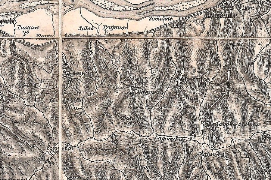
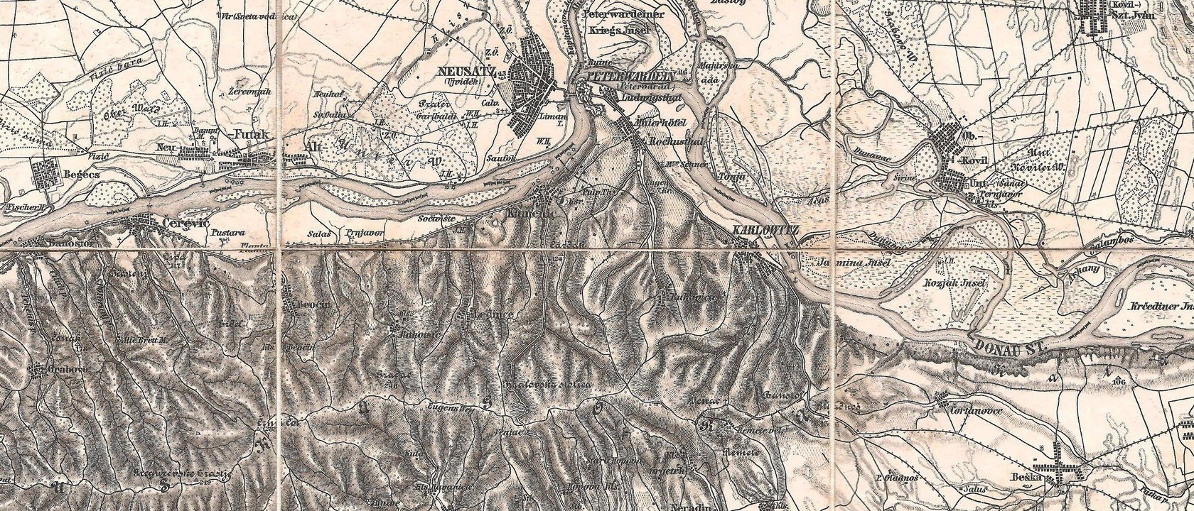
A folded Austro-Hungarian map sheet from 1877 in the author’s collection, scanned and put on the site: Rakovac, its monastery and Eugene’s road along the ridge, almost 150 years ago.
Photo: Konstantin Stein (scan, own collection), Map 1877: public domain
Photo: Konstantin Stein (scan, own collection), Map 1877: public domain
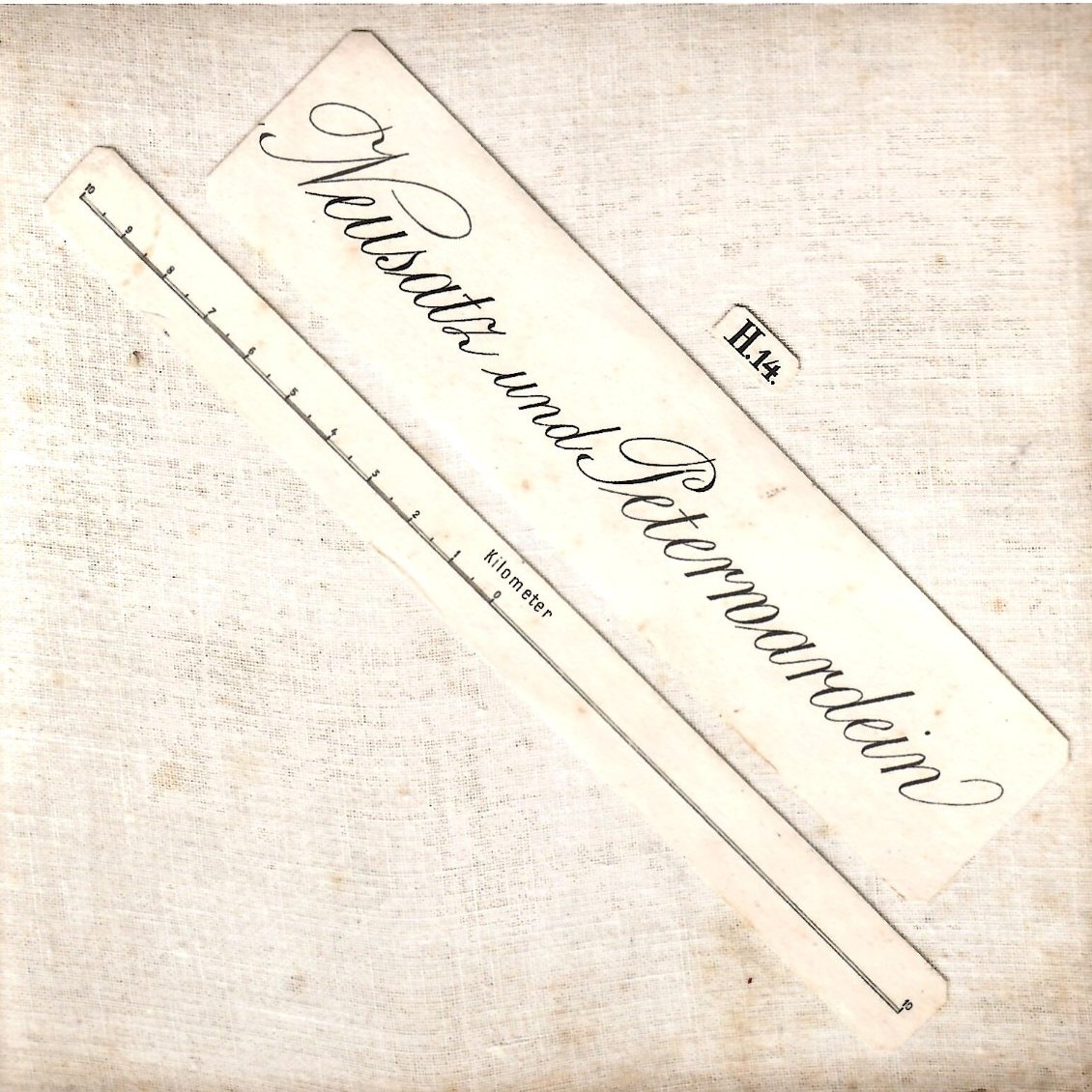
The author of this site bought an original sheet of the special map of the Kingdom of Hungary at 1:144,000, edition 1877, folded in a cloth cover labelled in calligraphy “Neusatz und Peterwardein”. It was engraved in copper by the Military Geographical Institute in Vienna and sold for 70 kreuzer.
We have scanned it, joined the two halves and published the whole sheet: you can zoom in on Rakovac with the monastery sign above the village, the hill Gradac at 248 Viennese fathoms (about 470 m), and a road along the ridge called “Eugens Weg”.
Novi Rakovac is not on the map yet: in 1877 the village was only the old settlement around the monastery.
Rakovac on historical maps: the 1877 sheet “Neusatz und Peterwardein” from the author’s collection, the detailed Austro-Hungarian special map of 1915, a general map from about 1910 and the topographic maps of the Yugoslav People’s Army from the 1970s and 1980s, with more maps from archives and private collections to come.
Why the village has an old and a new part, and how it grew from 582 people in 1948 to more than 2,000 today.
May we count your visit?
With your permission we count visits with Google Analytics and Yandex Metrica to see which pages are useful. They set cookies and receive usage data. No ads, no data sold. More about privacy
 Rakovac